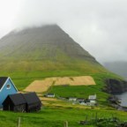
On Streymoy we have everything: big cities, tiny settlements, a Michelin-starred restaurant, trekking trails, impressive cliffs, beautiful waterfalls, scenic roads, masconurs, an old church…. and, of course, sheep ;)
Streymoy Island is the largest island within the Faroese archipelago. It also has the largest population, with nearly 22,000 people living there. osób, or nearly 45% of the total Faroese population. This is where the capital, Tórshavn, is located. Streymoy Island is connected to the island of Vágar By tunnel (paid), and with the island of Eysturoy by bridge (free ;)). Work is currently underway on the construction of a tunnel between Streymoy and Eysturoy, which will definitely make life easier for residents of the southern part of the island.
There are 32 villages on the island, of which only four have more than 1,000 residents, and two are uninhabited. That’s by way of introduction ;-)
Table of contents
Part of South Streymoy
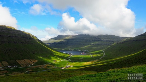
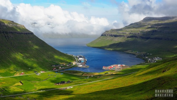
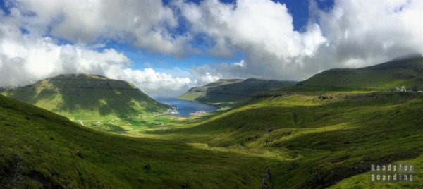
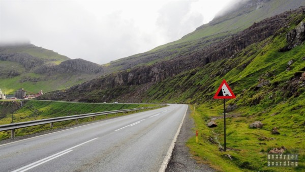
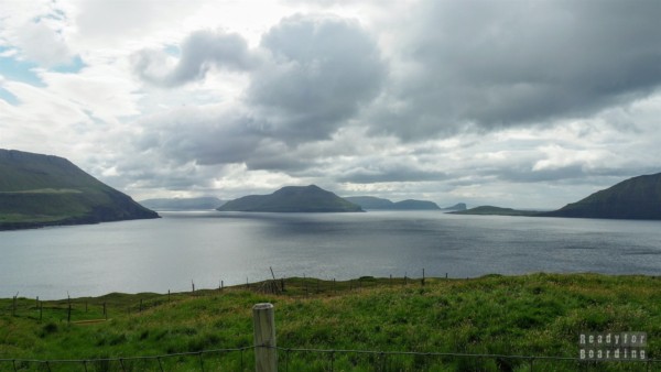
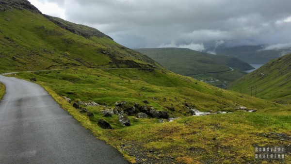
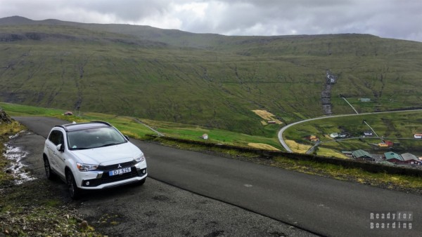
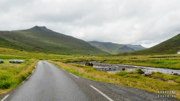
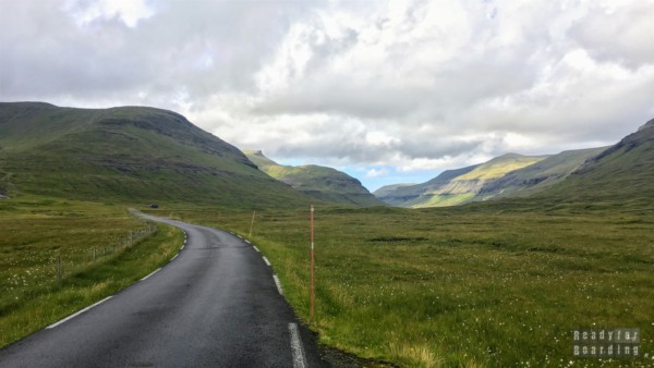
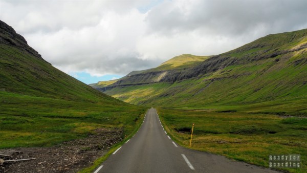
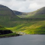
Streymoy can be divided into two parts: the northern part with high hills and cliffs, and the southern, flatter part. By convention, it can be assumed that a tunnel on the island separates them. Nonetheless, we recommend bypassing the tunnel and instead of taking the faster road, take the so-called “tunnel”. scenic road (road No. 10), which leads up hills with picturesque views. I can’t count how many times we took this road, but on average in one case out of three we hit nice weather ;)
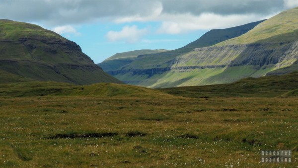
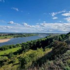
It’s worth hunting for nice weather here, because the views are truly beautiful! :) Anyway, see for yourself on these panoramas:
Please define valid width and height attributes for remote images. This will also optimize the loading time of the remote panorama. Please define valid width and height attributes for remote images. This will also optimize the loading time of the remote panorama.In the southern part is the capital of the Faroe Islands, but that is not what I want to write about here. There are a few small settlements on the west coast that are less accessible, getting to them may cause problems for people with motion sickness, but they are worth the trip.
Kirkjubøur
At the southern end is the village of Kirkjubøur. I have come to expect a lot from the small settlements on the Islands, but I would never have thought that in a town with a population of 74 people I would find a Michelin-starred restaurant!
>>> Polecamy również nasz eBook "Wyspy Owcze" za jedyne 19,99 zł! Wszystko w jednym miejscu, a w nim 149 stron pełnych inspiracji, opisów i praktycznych porad.
The restaurant bears a perverse name for Poles: KOKS. Let me remind you that Denmark is an expensive country. The Faroe Islands are even more expensive. Now consider how expensive this restaurant is. I hasten to answer: a tasting dish (!) costs DKK 1,400 (slightly more than PLN 800 per person). For some unknown reason we gave up this pleasure :) In retrospect, it was one of two opportunities to eat something local, but about that another time.
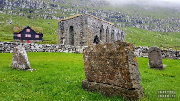
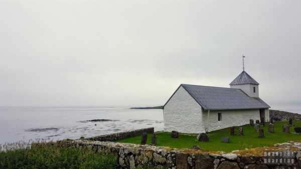
However, the village of Kirkjubøur is not only the KOKSownia. It may be hard to believe, but it is one of the oldest settlements in the archipelago, and in the Middle Ages the village was the spiritual and cultural center of the entire Faroe Islands. Here you will find the ruins of Magnus Cathedral from the 13th century and the oldest church in the Faroe Islands. Church of St. Olava.
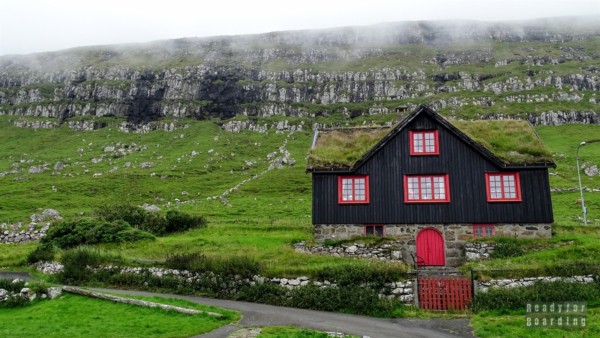
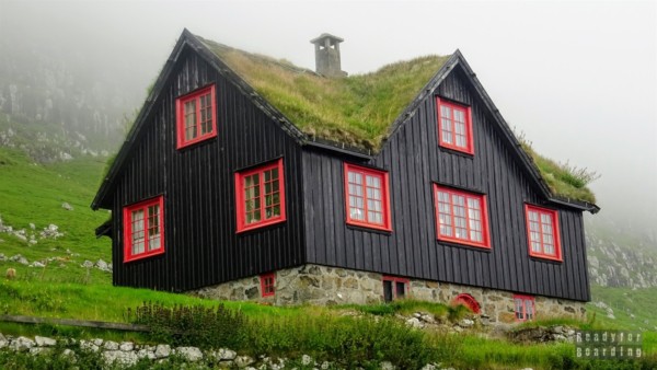
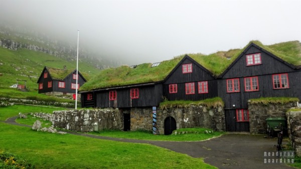
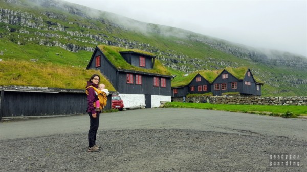
But that’s nothing compared to one rather average house at first glance. Kirkjubøargarður, as it is referred to, is one of the oldest inhabited wooden houses in the world!!! According to some sources the oldest, but I wouldn’t be so sure ;) Although inhabited, some of the chambers are open to the public as a museum.
I make no secret of the fact that the objects mentioned above do not knock you off your feet, just a crude white church, ruins from which you can barely see what it might have been or a house that does not stand out at first glance. It is only when we look through the prism of the place we are in, which is the whole Faroe Islands, where it is difficult to find other sights, and the surroundings complete the whole, that the images sink into our memory for a long time.
Kirkjubøur is the town that the city bus reaches, and it is the bus that announces that the first people in sight are about to appear. All around like a poppy seed and only the sighing of the bus and a few isolated voices of people getting off it can be heard. Such memories and observations are what give this place (as well as the entire Faroe Islands) its unique character. We can walk unhindered between the buildings and imagine what life was like here in the 12th – 13th centuries.
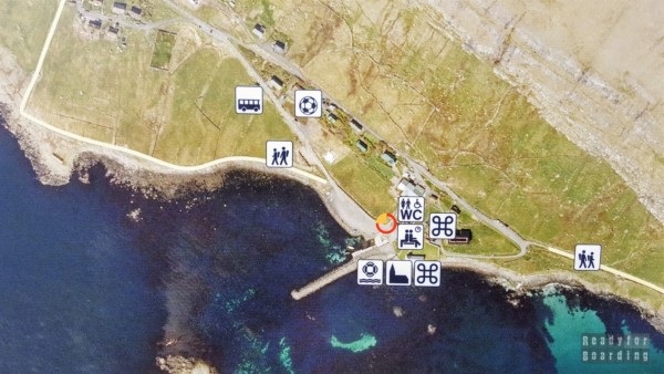
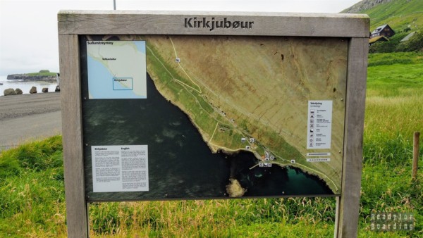
Anyway, the village itself is not very big, take a look at the map showing the whole (yes, the whole!) village :)
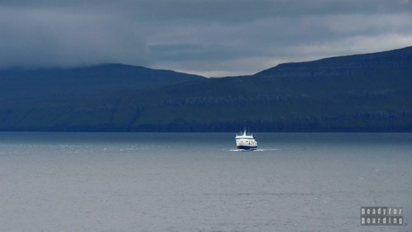
Heading west from the village along the coast you will reach a small harbor with boats, which also receives ferries to the islands of Hestur and Sandoy.
Norðradalur
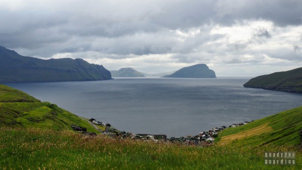
The next village we visited was Norðradalur, hidden in a valley. It is surrounded by 400-meter hills. There is nothing special about the village itself, but the views of the hills, the coastline and the islands visible in the distance are noteworthy.
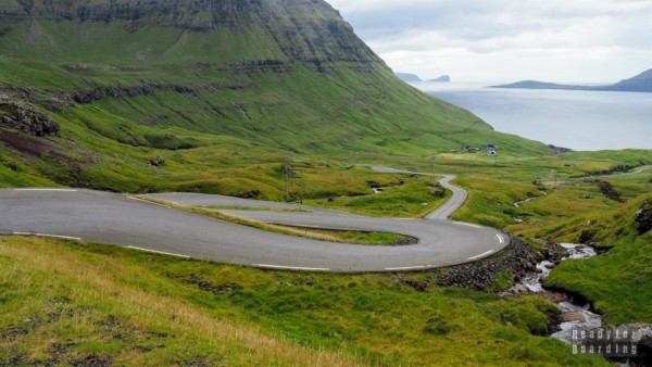
Paul especially liked the winding road to this village ;) In sum, why make some barriers and security on the access road to the settlement where 15 people live?
Why did we go here? In search of a trekking route towards the lake on a nearby hill. It was supposed to start or end here, but we found no sign or even a trace, so we let it go.
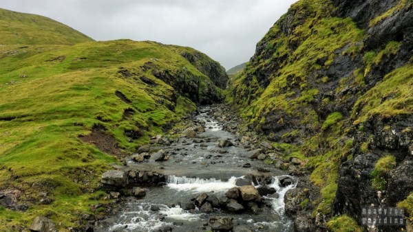
Unfortunately, hitting the trail in the Faroe Islands is difficult, so you either look for other hikers (which can be hard to do) or go on a hunch (which can result in falling up to your knees in water in wetlands – true story).
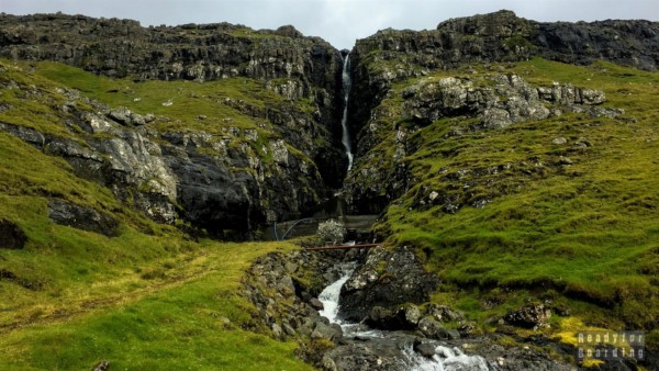
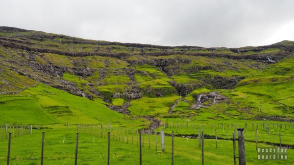
While there are still some places where you can see where a relatively good road runs, by the village of Norðradalur we had no idea how to approach the hill where the waterfall flows down. We also tried to start the route from the other side, but that also failed.
Part of North Streymoy
Contrary to appearances, there are also many interesting places to see in the northern part of Streymoy Island.
Vestmanna and the cliffs
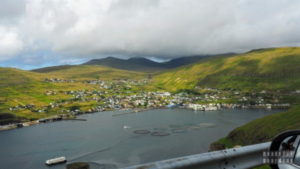
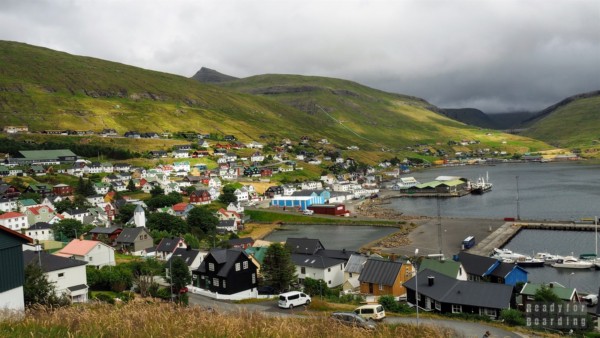
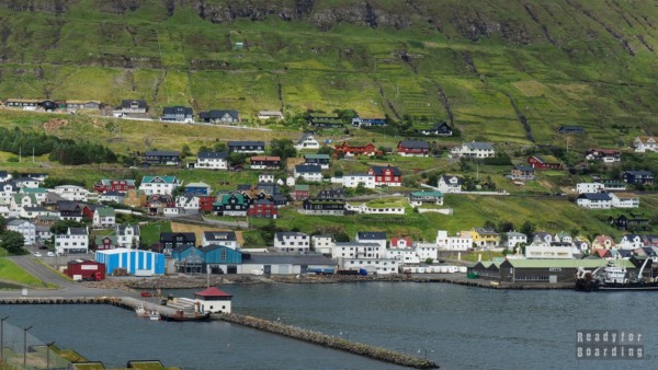
On the west coast is the village of Vestmanna, surrounded by hills. From afar you can see the colorful houses scattered just off the bay. This “large” town of more than 1,200 residents is known for several reasons:
- Annual grindworm hunts are held here, which may not be the best promotion of the region, and the only reason to come here is to participate in the protest. We’re not likely to support it, but we’ve learned a lot of arguments FOR it – more coming soon in a separate post.
- The highest cliffs are located here, among which numerous seabird specimens can be seen (to the delight of environmentalists).
Expanding on this interesting theme, the coast here(Vestmannabjørgini) is a very popular destination for tourists. There are not only the highest cliffs here (reaching 500 meters), but also numerous caves, and the place is often visited by birds, including, among others. maskonurs(puffins!). However, in order to admire the impressive coastline, it is best to swim up to it. There are companies in Vestmann that specialize in special cruises along the coast, although they reserve the right to cancel a cruise if conditions are not favorable for sailing. - It is here that the books of Remigiusz Mroz, who wrote the Faroe Islands crime trilogy under a pseudonym, are set.
Some may argue that Mr. Frost did not fully convey a picture of the Faroe Islands, the culture and social relations here, that there are factual shortcomings, but I think he presented Vestmanna quite well. After reading the trilogy, I knew we had to come here to see what was portrayed in the book and to what extent.
We walked, drove around and looked for particular common elements in the book and in reality. It was an interesting experience, walking in the footsteps of the characters and comparing our perceptions of the place, especially since the Faroe Islands are not yet as explored as other locations where authors set the action of the books. As you read, you can let your imagination run wild about the mysterious, seemingly safe Faroe Islands, as few images are known of the archipelago.
Vestmanna is a typical fishing town. Many fishing boats stand in the harbor, and fish farms can be spotted in the bay, but even here we were not able to buy fresh fish. We recommend you to go to the local tourist information, next to which there is something like a canteen :) There is a salad buffet, you can warm up.
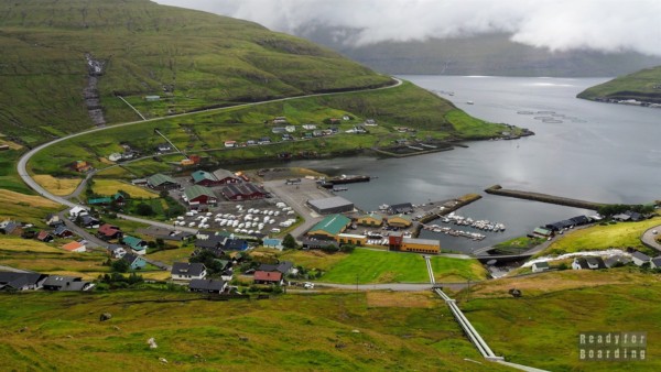
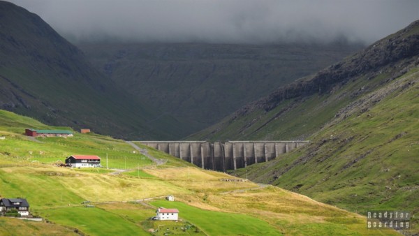
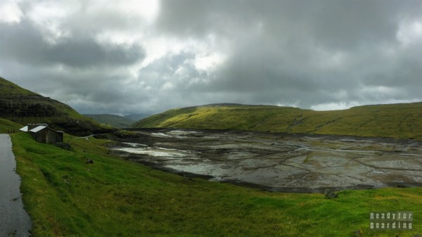
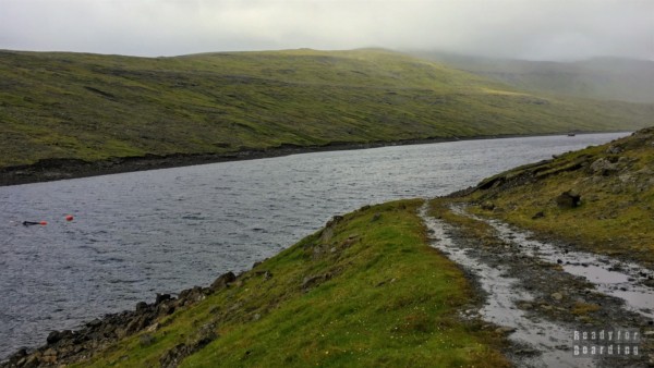
Entering Vestmanna, pipelines stretching down the slope toward the village catch the eye. They transport water to the power plant from the reservoirs above. While here, we decided to walk the section of the route to Hvalvík – this is the recommended route that leads from Vestmanna to the water reservoirs and then bounces to the right.
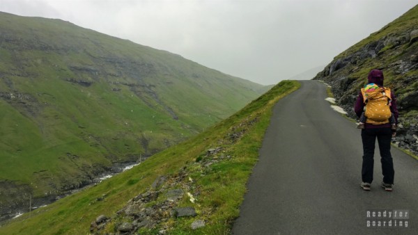
We reached these reservoirs ourselves – the route is very easy, it leads along a narrow asphalt road and, if you insist, you can even drive along it by car.
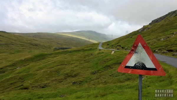
Unfortunately, being on the mountain we hit rainy weather, and so the visibility was poor, but it was still worth it ;)
The road to Vestmanna itself is also not bad. It is worth stopping at viewpoints to admire the views.
Saksun
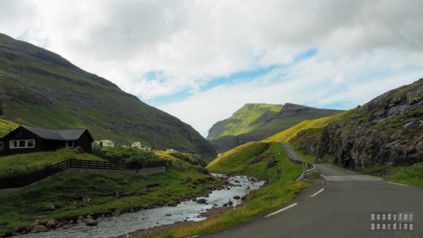
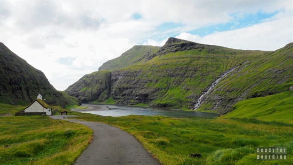
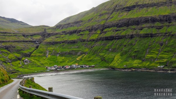
One of the most beautiful and idyllic views from the Faroe Islands is the one we will see in the settlement of Saksun. Although the road itself that leads to this town leads through a picturesque valley between hills.
And two more panoramas!
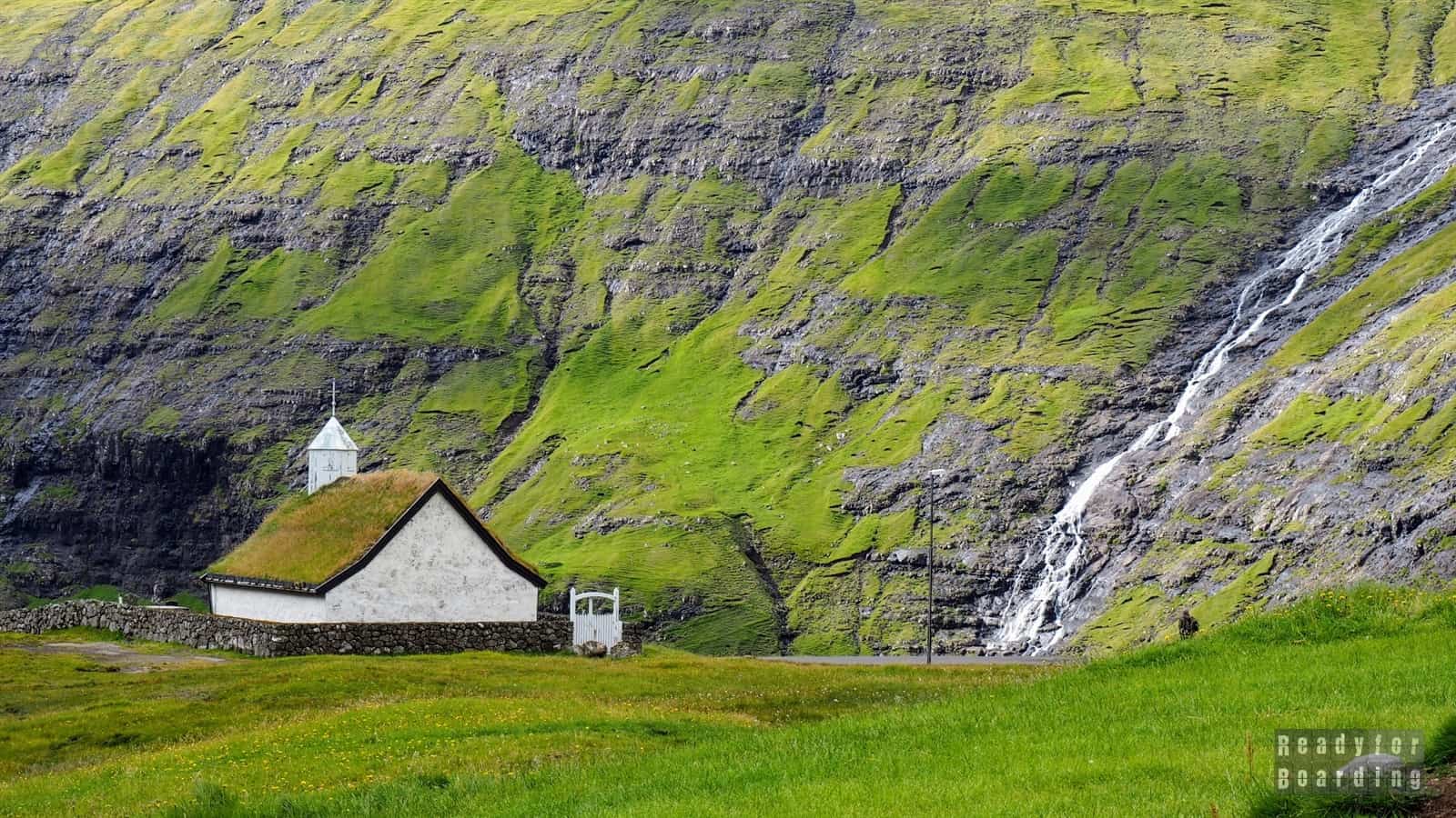
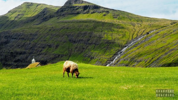
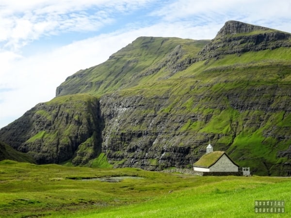
Please define valid width and height attributes for remote images. This will also optimize the loading time of the remote panorama. Please define valid width and height attributes for remote images. This will also optimize the loading time of the remote panorama.Reaching the end of the road, there is a parking lot on the left. Already from it you can see the lagoon, the waterfall and the small church with grass on the roof standing below.
The picture was completed by sheep, which wanted to fit into the frame at all costs :)
There is a museum in Saksun – Duvugardur, which is a farm with buildings dating back to the 17th century.
Tjørnuvík
At the northern end of the island, in a small bay, there is another small settlement – Tjørnuvík. What surprised us here was a small local cafe serving waffles – at least that’s what the sign at the entrance to the town says.
In fact, it is a table with benches displayed in front of one of the houses at which stands an over-sympathetic elderly gentleman with thermoses and a waffle iron :) Here we met with the friendliness and courtesy of the locals, who were very open, immediately approached us and chatted. Interestingly, these were mainly elderly people.
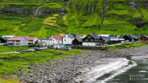
Tjørnuvík, like other settlements, is located in a bay, among hills, but this village has its own charm. Tight buildings, colorful houses, a white church with a maroon roof, all surrounded by gentle, mega-green hillsides.
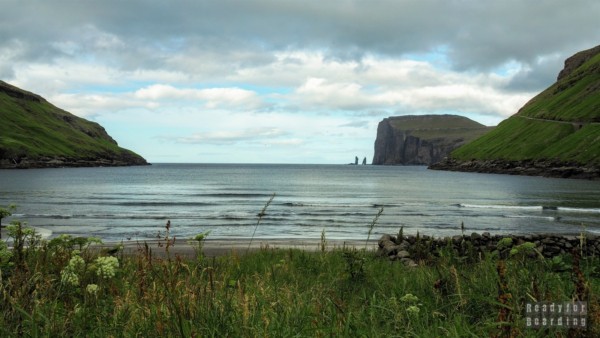
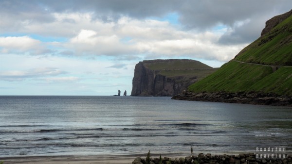
In the distance you can see the island of Eysturoy and the two spires sticking out of the water just off the cliffs: Risin and Kellingin (Giant and Witch).
Summary
There are plenty of attractions on Streymoy Island. There are both large cities (as in the Faroe Islands) and tiny settlements inhabited by a few people. If the weather cooperates with you, you can enjoy picturesque landscapes, green hills, colorful houses with grass on their roofs in the valleys, all in peace and quiet.
Here no one is in a hurry, and even though the most popular tourist attractions in the entire archipelago are located here, you certainly won’t be overwhelmed by the number of visitors.
Please also visit the gallery, where you will find many more photos:

